
Reading a Doddridge County Parcel Map
WV Property Viewer is statewide. It combines county assessor GIS with assessment attributes for surface parcels. Documented layers include parcels, ownership and location details, aerial imagery, flood-hazard data, and delinquent lands. It is not a zoning map. There is no adjacent-parcel buffer tool. Use the layers to find a parcel and frame precise questions for the County Assessor, the County Clerk, or a surveyor.
| Layer | What It Shows | Use |
|---|---|---|
| Surface parcels | Tax/reference geometry and parcel relationships. | Locate the parcel and record its ID. |
| Ownership/location attributes | Assessment information supplied by county systems. | Cross-check a record key with the Assessor. |
| Aerial imagery | Visual context over the map. | Orient a place; do not treat imagery as a boundary. |
| Flood hazard | Effective 100-year zones and Advisory A / Updated AE categories. | Review map context, then confirm with WV Flood Tool. |
| Delinquent Lands | Statewide delinquent-property layer, updated weekly. | Follow up with the State Auditor and Clerk. |
Deed evidence lives in County Records Inquiry. Take the parcel's owner or instrument reference there to pull the recorded document. The County Assessor handles tax identity and map cards. State parcel files download free through the West Virginia GIS data route. No map view replaces the deed's legal description. Open the WV Property Viewer to reach the statewide parcel route, the public map entry point for Doddridge surface parcels.
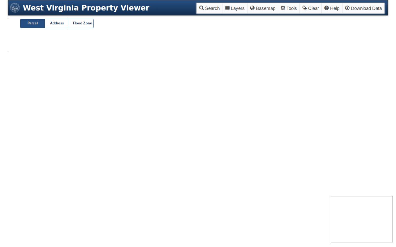
The map places the parcel; the deed defines it.
Six Parts of a Doddridge Parcel ID
The statewide format has six elements: county code, district code, map number, parcel prefix, parcel suffix, and special ID. Not every label uses all of them. A GIS ID may drop the special ID, and a CAMA/IAS ID may drop the county code. Short forms can look like district-map-parcel. No official listing spells out Doddridge's county code. Copy the full ID from an official result instead of rebuilding it from another county's example.
The Assessor's search sorts parcels across nine district labels. West Union and West Union Corp appear as separate options. A district label is a search key, nothing more. It does not establish a town's legal boundary or the date a line shifted. When you move between systems, keep the parcel string exactly as the state tool returns it.
Treat each segment as its own lookup clue. The county code identifies the county system, the district code selects the local tax district, and the map and parcel elements narrow the location within it. Prefix, suffix, and special-ID values can separate records further. State documentation confirms the six-element format. It fixes no county code value and no single punctuation style. Ask the Assessor when a legacy record carries a different label.
Free Doddridge GIS Data and Tax Maps
Under SB 588, WV Property Assessment makes digital surface tax-map files available at no charge. Downloads run through the state GIS clearinghouse. The clearinghouse is the data route. The WV Property Viewer is the interactive display of the same parcel information. A download suits broader research or local mapping work. It adds no legal force to tax-map lines.
The West Virginia GIS clearinghouse page is the official distribution link, and it displays the state's data route for these files.
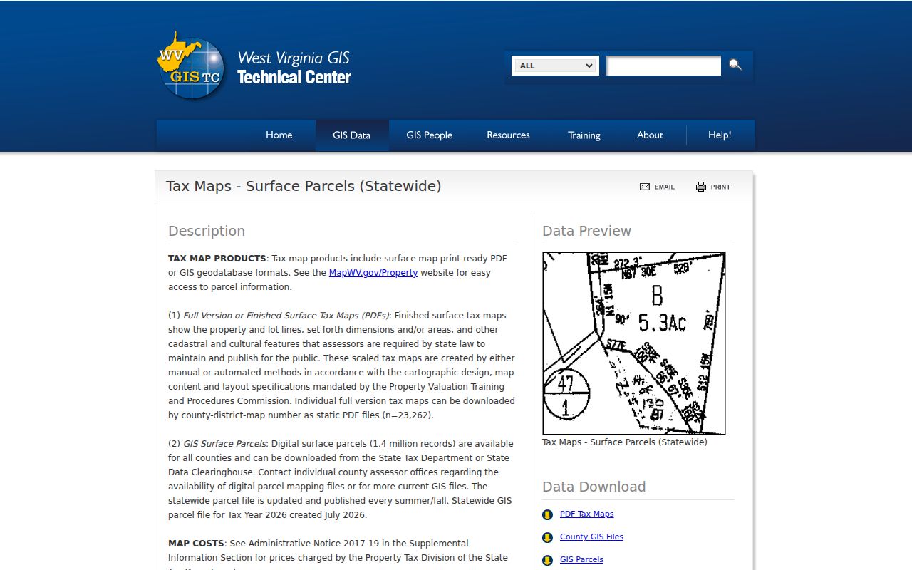
Treat the data files as tax-map references. Verify any boundary against deeds, plats, or a survey.
A downloadable GIS file works well for viewing a wider area. You can compare layers in a GIS application. It is not a certified parcel card. Nor does it turn an assessment line into a surveyed boundary. The interactive viewer suits a quick visual check. The local Assessor answers questions about a map card, an ownership correction, or displayed acreage. Card copies require an office visit, so plan a request if the screen falls short.
Finding a Doddridge Parcel by Address
Start with the statewide viewer or the Assessment search. Then take that key to the Assessor system. Doddridge County's Map Card Viewer asks for a district and a map/parcel choice. Postal labels do not always match the situs address. When they clash, lean on the parcel identifier as the stable reference, and remember the state's note that recent line changes can lag after a transfer.
- Search the address in WV Property Assessment or locate the place in WV Property Viewer.
- Copy the parcel ID and the district/map/parcel labels from the result.
- Open the local Assessor Map Card Viewer with its district and map/parcel selectors.
- Compare the recorded legal description and any plat; contact the Assessor about map changes.
Note the source and date of each map view. State parcel geometry is a best-fit reference. It is drawn from deeds and surveys. A completed transfer is followed by map submission only after the stated July 1 through June 30 cycle. Qualifying line changes are due the next February 1. A mismatch that survives two years deserves a call to the Doddridge Assessor. This clock governs map submission, not tax bills or owner-name updates.
- Parcel ID
- The state-assigned key built from county, district, map, parcel, and special-ID elements.
- Plat
- A recorded map that may identify lots and blocks.
- Lot and block
- A description keyed to a recorded subdivision layout.
- Metes and bounds
- A description using measured courses and boundary calls.
- Easement
- A recorded or otherwise established right affecting use of land; check the deed records.
Doddridge Flood Layers and Parcel Context
The state flood layer matters here. It shows effective 100-year zones plus Advisory A or Updated AE categories. The WV Flood Tool offers a separate state route to floodplain context. Neither one settles a legal boundary. Think of a flood layer as a way to shape the questions worth asking. Ask them before buying land or planning an improvement. A site-specific flood review still does the real work.
Read the label, date, and scale inside the official tool. Then confirm the location against the County Assessor's parcel key. Doddridge County publishes no county-specific interactive layer inventory. So do not assume every layer covers every parcel. For a local floodplain determination, the county floodplain or emergency-management office is the right stop. That office keeps its own permit records.
Recorded Doddridge Plats and Parcel Descriptions
Plats sit inside the County Clerk's land-record list under Plat Maps. A deed sometimes references a subdivision plat. The plat then becomes the cleanest way to read a lot and block description. The Clerk's index also holds agreements and affidavits. The Assessor's map carries the current tax parcel picture. Search each source by the reference cited in the deed itself. An unverified subdivision name is a weak starting point.
No named Doddridge subdivision plats or county-specific plat index appear in the public record set. A title instrument may point to a map. Call the Clerk at 304-873-2631 and ask how to reach the plat category. Map-card copies from the Assessor require a visit to the office. Remember that a recorded plat and GIS geometry are different animals. Neither substitutes for a current boundary survey.
Mineral Parcels Are Outside the Surface Viewer
WV Property Viewer shows surface parcels only. Mineral parcels stay off the map. That means a surface outline cannot tell you whether oil, gas, or other mineral interests were reserved in a deed. It also cannot tell you if they were transferred later. The County Clerk records deeds, assignments, releases, and affidavits. Those instruments are the trail to follow for severed interests.
For mineral mapping, the state points users to the Mined Minerals GIS Section. That applies to counties where such maps exist. Doddridge County has no confirmed mineral layer there. Ask the state unit directly. Read the recorded documents before treating any online parcel view as a complete land-interest record.
When a deed splits surface rights from mineral rights, keep the two chains apart in your notes. A parcel number can place a parcel on the surface tax map. It says nothing about who holds the interests beneath it. Trace the County Clerk's assignments, releases, and other cited instruments under the parties named in the mineral documents. Then check with the state mapping section about a county map. Never project a surface boundary onto minerals. Never let a surface GIS result settle who owns a subsurface interest.
What Doddridge Parcel Maps Cannot Prove
WV tax parcels exist for assessment and general reference. The state describes the lines as best-fit visualizations drawn from deeds and surveys, not conclusive proof in court. Geometry can lag behind a split or a line change. The county map may also display calculated acreage that differs from the deeded acreage. Compare figures using the deeded number. For any real boundary decision, get a survey.
Not a survey. Doddridge County parcel maps are reference tools. Do not build, fence, buy, or dispute a line from GIS alone; review the deed and hire a licensed surveyor when the boundary must be fixed.