
A Five-Step Doddridge County Property Records Search
In Doddridge County, the Assessor is the right first stop. That holds when you have a street address or need a tax map identity. The office runs a local Map Card Viewer. That tool asks for a district and a map/parcel selection. For address, owner, or parcel lookup, the statewide WV Property Assessment search is the broader route. Once a parcel or owner name is clear, move on to the County Clerk's County Records Inquiry for recorded instruments. The Assessor roll and the deed index are not the same record. One is an annual tax system. The other records legal documents.
Match the result to the question. A recorded deed confirms a transfer. Assessor data shows the parcel's tax identity and assessed value. A GIS viewer gives a visual reference. Legal title and boundary disputes call for the recorded documents plus qualified professional review. No single search result does all three jobs.
- Search the WV Property Assessment application by the Doddridge address, owner, or parcel identifier.
- Note the Assessor district, map, parcel, legal description, and any displayed owner or value details.
- Use the party name, book and page, or instrument number to search County Records Inquiry.
- Compare the parcel on WV Property Viewer, keeping its surface lines and layers in their reference role.
- Call the County Clerk or Assessor for a copy or card that the public viewer does not provide.
The official WV Property Assessment search works well when you know the address but not the local map/parcel label. Enter what you have. Then check the result at its source office.
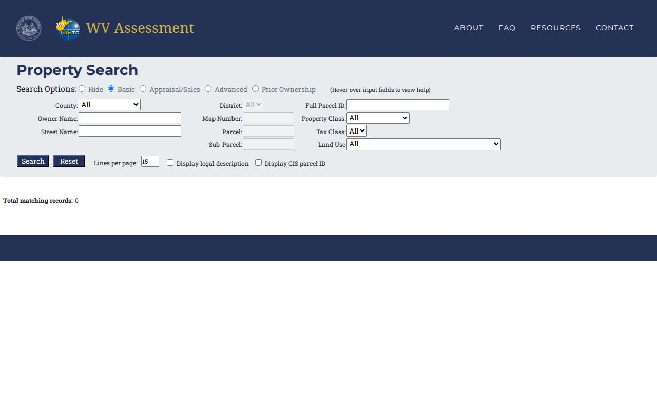
The statewide screen is the broad entry point. Use the parcel and party details it returns to pull the county-held record from the Clerk or Assessor.
Doddridge County Property Records Offices
Doddridge County splits its property records between county and state systems. The Clerk records land instruments and handles copy requests. The Assessor keeps tax maps, exemptions, and property values. The Sheriff handles tax collection. The State Auditor provides the statewide delinquent-land database, and the Circuit Clerk is the separate custodian for any court case tied to a deed or foreclosure.
Doddridge County Clerk
99 Court Street, West Union, WV 26456
Suite listing varies on county pages
304-873-2631
Doddridge County Assessor
99 Court Street, Suite 236
West Union, WV 26456
304-873-1261
State Auditor Delinquent Land
Statewide delinquent-land records
Online database and map
Use the official State Auditor contact page
The Assessor sits at 99 Court Street, Suite 236. Its phone line is 304-873-1261. County Clerk listings conflict: some show Suite 115, others Suite 201, and the fax numbers disagree too, so call before mailing or visiting. Confirm current details in the county's official directory. That Doddridge County office directory page shows each agency's starting point for a records request.
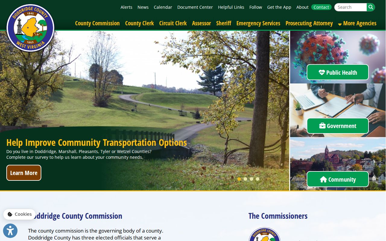
Use the directory to confirm which office handles a request before visiting the courthouse.
Doddridge County Clerk Index Fields
The County Records Inquiry is the party-and-instrument route. An Assessor search first identifies a parcel or owner. Official access notes describe date fields, name matching, book and page, and an instrument number. The land-record landing page lists the categories in scope. It names no earliest online year. Older images may not open from home. The portal description carries a default date of January 1, 1700. That is a search default, not proof that records are digitized from that date.
| Inquiry field | What to enter | Doddridge use |
|---|---|---|
| From / Thru | Date range | Narrow a known transfer or filing period. |
| Name Filter | Starts With or Exact | Test a surname before relying on one spelling. |
| Last, First, Middle | Party name | Search grantor, grantee, estate, or fiduciary names. |
| Book / Page | Recorded reference | Retrieve a cited instrument. |
| Instrument # | Up to 20 characters observed | Use the deed or filing identifier when known. |
Search modes include Selections, Advanced, and View. Controls let you sort, reset, or add results. Export options cover several common document formats. Image and download terms are less certain, so confirm with the Clerk whether every result includes a free copy.
The Doddridge County land-record portal lists the instrument categories available through the Clerk's search route.
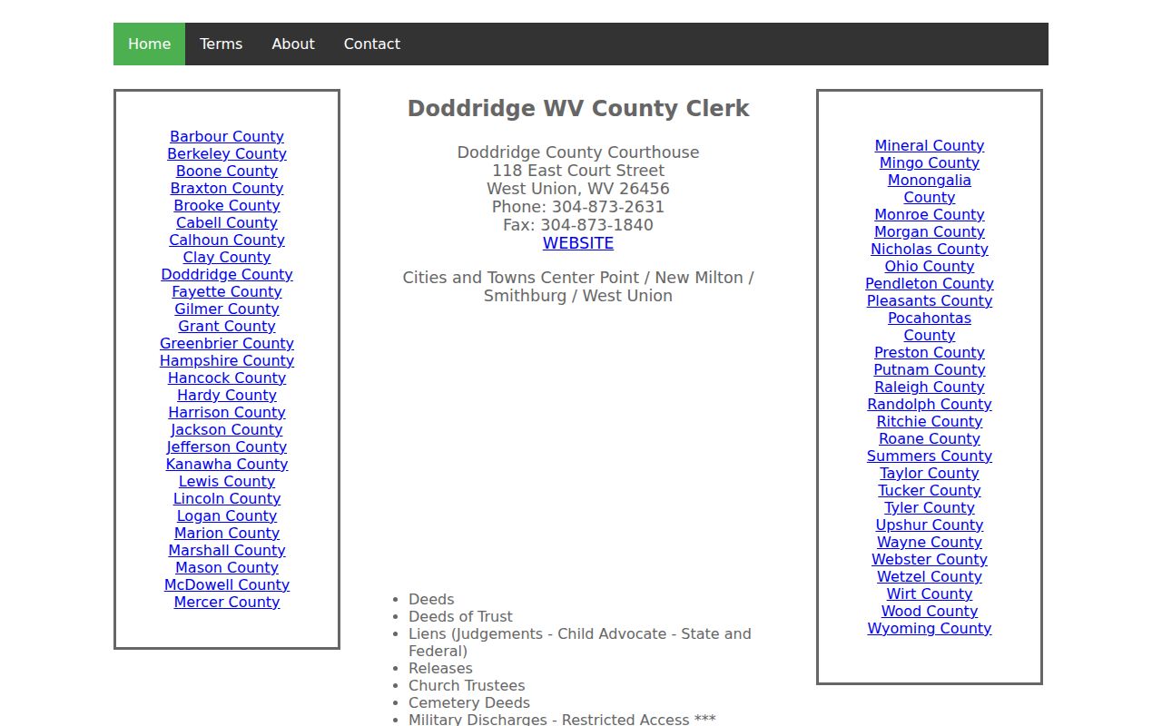
Pick a likely record type from the category list. Then confirm copy and image access with the Clerk before you plan around it.
Doddridge County Property Search Has Nine Districts
The local Map Card Viewer builds the district choice into every lookup. Its menu lists nine entries. They are Central, Cove, Grant, Greenbrier, McClellan, New Milton, Southwest, West Union, and West Union Corp. West Union and West Union Corp are separate districts. That split matters for searching. The menu alone cannot tell you when a boundary changed or whether a parcel was annexed.
When a place is described as West Union, match the district to the property record instead of assuming the town label points to one tax map. Mailing city, place name, and district can differ. If the district is uncertain, run the statewide address or owner search first. Then return to the viewer with those values.
The Doddridge Map Card Viewer offers District and Map/Parcel controls. A Show button runs the lookup. Card copies require a trip to the Assessor's office. When the local map labels feel unfamiliar, the same local Assessor viewer pairs well with the statewide search, which bridges the gap.
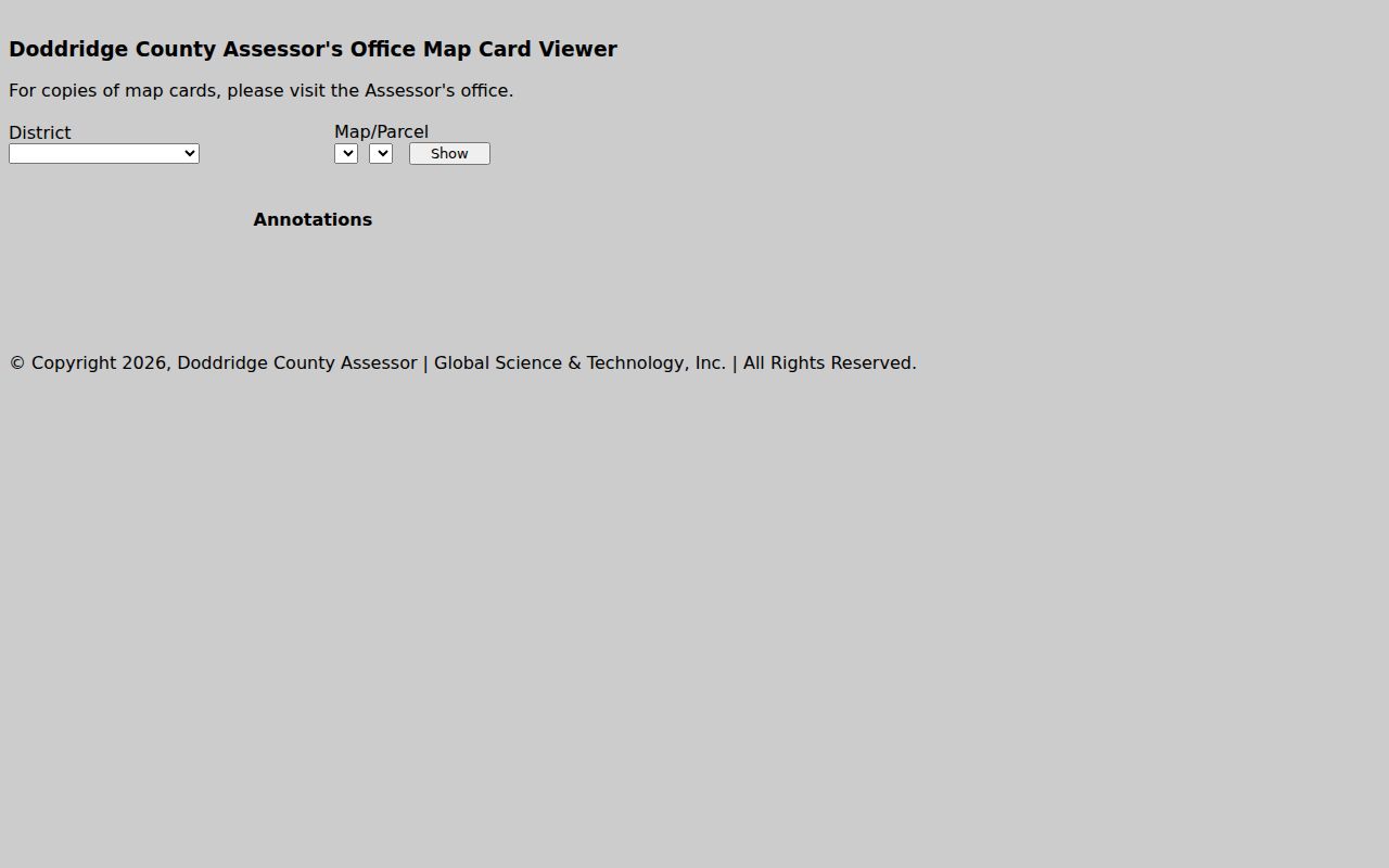
Pick a district and map/parcel from known records. The notice on the viewer says card copies must be obtained at the office.
What Doddridge County Property Records Cover
No single portal holds the whole file. A good Doddridge County property records search pulls from several offices at once. The County Clerk records deeds and other land instruments. The Assessor keeps the tax roll and map cards. Statewide GIS tools display surface parcels. Court records hold the case behind a foreclosure or title dispute. The tax bill itself is a Sheriff-side question. Doddridge's clerk also records an unusually broad list. It runs from cemetery deeds and church trustees to plats, assignments, liens, releases, and trustee sale reports.
| Record Type | What It Documents | Kept By | Access |
|---|---|---|---|
| Deeds and deeds of trust | Transfers, secured lending, and cited legal descriptions | County Clerk | County Records Inquiry, then Clerk for copies |
| Liens and releases | Recorded claims, releases, and assignments | County Clerk; courts for cases | Party or instrument search |
| Assessment and tax map | Classification, value, exemptions, parcel identity | County Assessor / WV Property Assessment | Online viewer; map-card copies at office |
| Plats and surface parcels | Recorded lot descriptions and tax-map geometry | County Clerk / state GIS | Clerk category, viewer, or free data files |
| Foreclosure and delinquent land | Trustee sale filings, redemption, delinquent parcels | County Clerk / State Auditor | County index and statewide database |
Ownership work means comparing the newest deed against the Assessor roll. For value, read the assessed figure and its class. For a map, treat the statewide viewer as orientation. The Doddridge deed-records search explains the recorded instrument route, while the property tax record steps cover review dates and the annual tax formula.
Annual Doddridge County Assessment Cycle
West Virginia starts from true and actual value, and a statewide 60 percent assessment level then applies. Multiply appraised value by 60 percent. That product is the assessed value, and the levy is applied to it to compute the tax. So an assessment is not a bill. Neither number promises a sale price.
The Assessor values property every year. Real estate is visited at least once every three years. Books close by January 30, go to the Board of Equalization and Review by February 1, and values are certified by March 3. The Board meets during February. That schedule gives owners a fixed window to challenge a valuation, though the local hearing notice changes from year to year.
The Doddridge Assessor's duties and calendar page lays out the current process. It is worth checking each winter. There the county explains its classes, exemptions, and assessment formula.
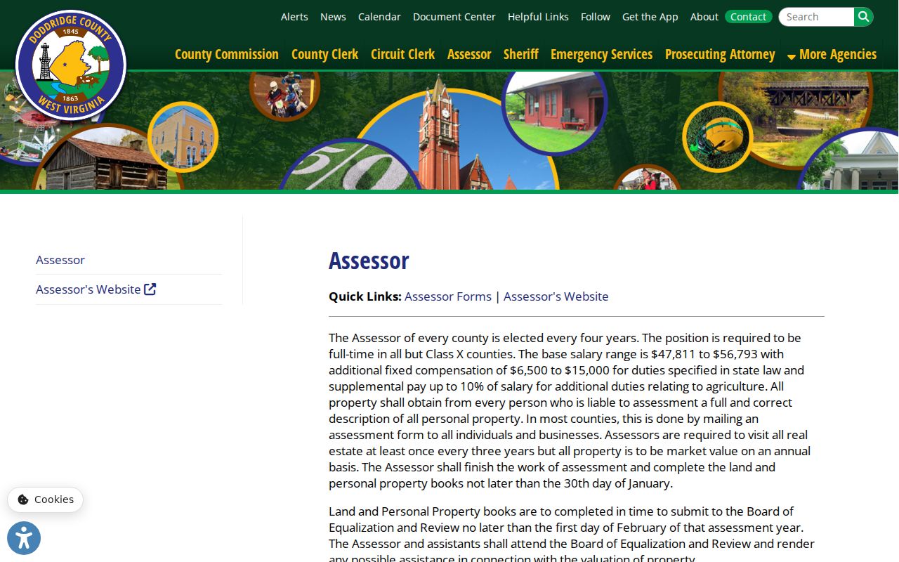
Valuation dates drive the tax record. Check the current-year Board notice with the Assessor before acting on a value.
Doddridge County Parcel Maps Are Not Surveys
WV Property Viewer shows surface parcels drawn from county assessment and GIS data. Context layers include aerial imagery, flood hazard, and delinquent lands. Those overlays help you locate a parcel. They do not replace a survey. The state says tax parcel lines are best-fit assessment geometry built from deeds and surveys. They are not conclusive evidence in court.
A Doddridge parcel ID stitches together county, district, map, prefix, suffix, and special ID elements. A parcel can wear several IDs. Different tools may show a full root ID, a GIS ID, a CAMA/IAS ID, or a shorter district-map-parcel label. Some tools show a shorter district-map-parcel label. Never guess the county code from another county's sample. When a split line stays missing after two years, the state advises contacting the local Assessor. That office can provide an update. Under the cited mapping rule, deeded acreage controls over GIS-calculated acreage.
The WV Property Viewer displays any selected surface parcel. Statewide tax-map files download through the GIS clearinghouse too. The state viewer is the standard way to inspect Doddridge land.
Use the outline to find the right record set. Then turn to the deed, plat, or survey for any legal boundary question.
Surface Parcels Do Not Show Mineral Title
The state viewer maps surface parcels only. It does not map every mineral estate beneath them. In an oil-and-gas county, the surface owner and the mineral-interest owner can be different parties. A deed may reserve or sever minerals. Later assignments or releases can change the subsurface chain without moving the surface outline on any map.
For mineral questions, start with the parcel's deed description. Search the Clerk's deeds, assignments, releases, and affidavits by party and instrument. A GIS result alone cannot establish mineral ownership. If a deed's legal description differs from the current parcel label, keep both references and ask the Clerk how to find the older instrument.
Weekly Delinquent Land Records in Doddridge
Delinquent land records span several offices. The County Clerk's land-record categories include Trustee Reports of Sale, and redemption notices and delinquent deeds pass through that office too. The State Auditor runs the Delinquent Land Database. Its delinquent-land layer is refreshed weekly.
A delinquent map entry is a lead, nothing more. It does not prove the parcel is still available. It does not prove a tax sale is complete either. Check the redemption status, the recorded deed, any current tax receipt, and related court filings. Doddridge County publishes no Sheriff tax-bill search or local sale calendar, so ask the county office directly about bill amounts and payment steps.
The State Auditor's delinquent-land search is the official entry point. It ties statewide delinquency data to county land records.
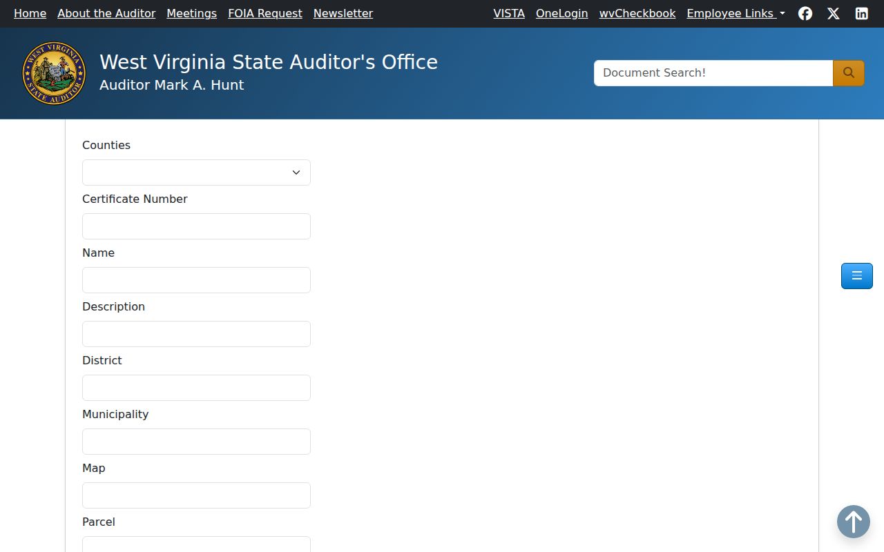
Confirm any parcel with the Clerk and Assessor first.
Doddridge County Land Records Begin in 1845
Doddridge County was formed in 1845 from parts of Harrison, Lewis, Ritchie, and Tyler counties. That fact shapes every old land chain here. A deed from before 1845 may sit in a predecessor county's books rather than in a Doddridge volume. The County Clerk's index lists many instrument types, but the office publishes no online start year, digitization cutover, or oldest deed book.
Work backward from the current grantee. Identify each prior grantor. Keep each book and page reference. For older links, ask the Clerk about deed books and microfilm, then check the State Archives and library catalogues. Never trust a portal's default date. A missing online result has several explanations. It may reflect an indexing or imaging gap, an alternate party name, or a record held by a predecessor county.
The Clerk's land-record landing page confirms the local categories and its contact route. It publishes no earliest searchable year.
Local Library Clues for Doddridge County Houses
A house history often lives beyond the deed books. Local print and archive material helps. The first public library in Doddridge County opened in the courthouse basement in 1952. Thirteen years later it moved to the old opera house. An expansion followed in 1977. The Marie Street building came in 2016.
No year ranges are published for the newspapers, directories, obituary files, or genealogy subscriptions. Ask the library before calling a collection available. A newspaper notice, county history, yearbook, or photograph can supply a real lead. Only Clerk deeds and probate records confirm an ownership transfer, though.
The Doddridge County Public Library history page gives the facility milestones.

Verify each parcel chain through official county records.
West Union, Smithburg, and Center Point Clues
Place labels vary inside one county. West Union serves as the county seat. It shows a population of 653 in the 2020 incorporated-place table. Smithburg appears with ZIP 26436 in state material. Center Point shows 26339 in some state records. Its public library branch is addressed through Salem, ZIP 26426.
A ZIP or mailing city proves nothing about a municipal boundary. For an address near these places, compare the situs, mailing address, municipality name, and Assessor district instead of discarding a result over one mismatched label. West Union and West Union Corp are separate Assessor districts. The towns publish no online permit or zoning lookup. Contact the local governing body directly. Use county offices for deeds and tax maps.
What Doddridge County Property Records Cannot Prove
Doddridge County property records have real limits. They document recorded transfers, tax assessments, liens, parcel references, and other matters a public custodian holds. Gaps still exist. They cannot prove that every document is indexed, that an annual assessment has caught up with a new deed, or that a GIS line is a legal boundary. Nor are they a title opinion, appraisal, or survey.
Lawful use. Use owner and parcel information for property research, purchase diligence, tax review, and civic purposes. Do not use public details to stalk, harass, threaten, or harm anyone.